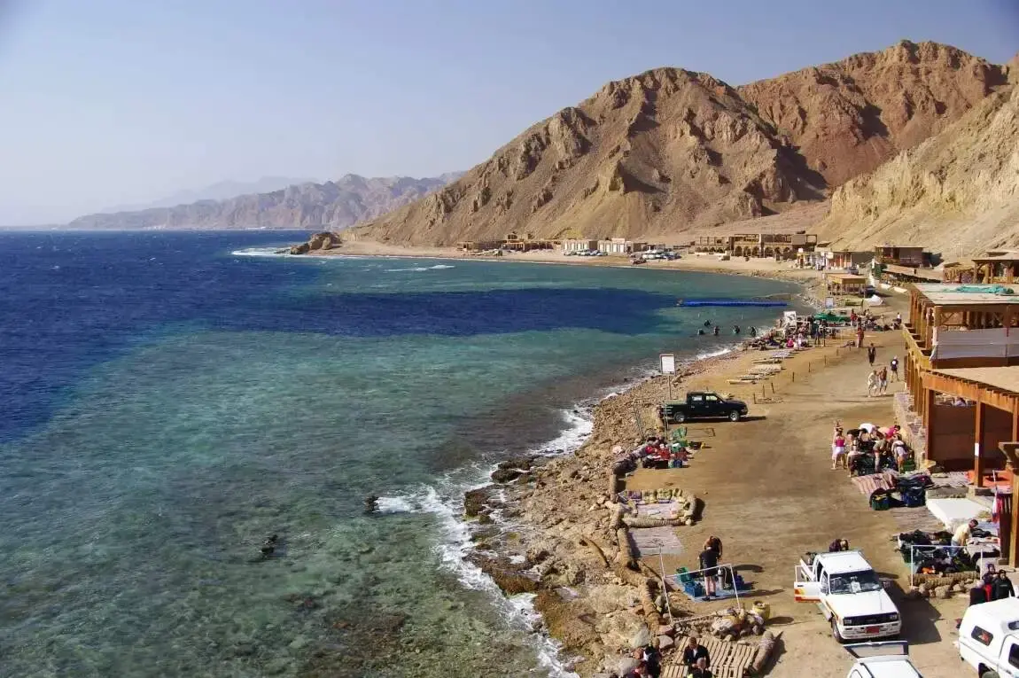
The seismic cracks zone of Ras Mamlah and Ras Abu Galum is the stretch of the Gulf of Aqaba coast in South Sinai, between Dahab and Nuweiba, that lies directly on the fault system separating the Sinai from the Arabian plate. The fractured granite cliffs, the deep cracks and the reefs that drop straight into the abyss are all products of that fault. Most of the area is inside the Ras Abu Galum Protected Area, declared in 1992, and you reach it on foot, by camel, by boat or by 4x4 from Dahab.
The old version of this page made it sound dangerous. It is not, for a visitor: big earthquakes are rare here, and the coast is one of the quietest and most beautiful places in Sinai. Bedouin guides from Dahab take travellers there on day trips and overnight camps; this guide explains what you are looking at and how to go.
Why the cracks are there: the geology in plain words
The Gulf of Aqaba is not a normal bay. It is a rift valley flooded by the sea, the southern end of the Dead Sea Transform, a fault that runs about 1,000 km from the Red Sea to Turkey. Along it, the Arabian plate slides north past the Sinai at a few millimetres a year. Over millions of years this movement has torn the coast into blocks, opened deep basins in the gulf (more than 1,800 metres deep) and pushed up the mountains behind the shore.
On land you see the result as:
- Cracks and fault lines cutting through the red and grey granite of the headlands.
- Dykes: dark bands of volcanic rock that filled old fractures, crossing the cliffs like stripes.
- Steep wadis that follow the faults down to the sea.
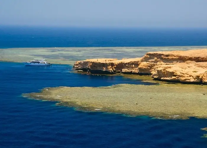
Under water the same forces made the walls and holes that divers love: the Blue Hole just south of the protected area, and the reef walls of Ras Abu Galum that fall away a few metres from the shore.
Is the area dangerous? The real earthquake risk
The Gulf of Aqaba is the most seismically active part of Egypt, and small earthquakes are recorded every year, most of them too weak to feel. A strong one is rare. The largest in modern times was the Gulf of Aqaba earthquake of 22 November 1995, magnitude 7.3, with its epicentre in the gulf. It caused the worst damage in Nuweiba, where several buildings collapsed and three people died, and witnesses in Aqaba and Eilat reported a small tsunami.
For a visitor this means:
- The chance of a damaging earthquake during your day trip is very small.
- Abu Galum has no large buildings, only Bedouin huts and camps, so the danger from collapsing structures is low.
- If you ever feel strong shaking on the beach, move away from the shore and to higher ground, as you would on any coast.
There are no special evacuation shelters or warnings for tourists in Abu Galum; the claims in older articles about "emergency shelters" and frequent tsunamis are not true.
Ras Abu Galum Protected Area
| Declared | 1992 (decree 1511/1992, amended 1996) |
|---|---|
| Size | About 426 km² of land and sea (older lists give 500 km²) |
| Location | Gulf of Aqaba coast north of Dahab, beyond the Blue Hole |
| Type | Managed resource protected area, home to Muzeina Bedouin |
| Road access | No paved road to the coast; reach it on foot, by camel, by boat or by 4x4 |
The protected area covers mountains, wadis, a coastal plain and reefs. Bedouin of the Muzeina tribe have lived and fished here for centuries and still run the small camps on the beach. Wildlife includes ibex in the mountains, foxes, desert birds, and on the reef everything from parrotfish to turtles.
Where is Ras Mamlah?
Ras means "headland". Ras Abu Galum and Ras Mamlah are two of the headlands on this coast, north of the Blue Hole, where the fault cracks are clearest in the rock. You see both from the coastal path and from the boats that run up the coast from Dahab.
How to visit Ras Abu Galum and Ras Mamlah
Hike from the Blue Hole
The classic way. A coastal path starts at the Blue Hole and runs north along the foot of the mountains, past the Bells dive site, to the Abu Galum beach. Allow about 2 hours each way at an easy pace (hiking guides usually give the distance as 7 to 8 km); the path is narrow and rocky in places, with drops to the sea, so wear proper shoes. Start early: there is no shade.
By camel
Bedouin camel men wait at the Blue Hole and can take you along the same path. Many travellers walk one way and ride back.
By boat
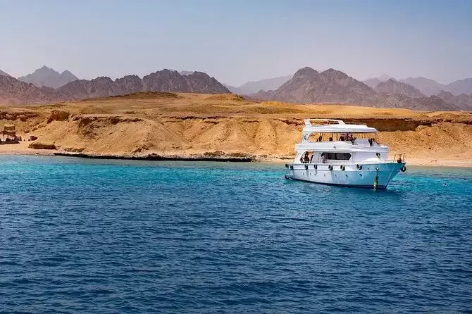
Boats from Dahab and from the Blue Hole run up the coast to Abu Galum with snorkelling stops on the way. This is the easiest option for families and for anyone not used to hiking.
By 4x4
A desert track comes down a wadi to the coast from the Dahab to Nuweiba road. It needs a proper 4x4 and a local driver.
What to do there
- Snorkel and dive: the reef starts at the beach; the water is clear and the walls drop deep, so stay near the reef edge and never snorkel alone.
- Camp: spend a night in a Bedouin hut on the beach with a fish dinner and no light but the stars.
- Hike inland: short walks into the wadis show the fault-cut granite best; take a Bedouin guide.
- Photograph the headlands: the late afternoon light turns the granite red and shows every crack.
Practical tips
- Best time: October to May. Summer is very hot on the path.
- Bring: 2 to 3 litres of water each, sunscreen, a hat, snorkel gear, cash for the camps and the protected-area fee.
- Respect the protected area: do not touch or stand on coral, take all rubbish back, do not collect shells or stones.
- Phone signal is weak or absent on parts of the coast; tell someone your plan.
- Safety at the Blue Hole: the Blue Hole is a beautiful but deep site; divers should stay within their training limits.
Plan the rest of your stay with our guides on how to spend a week in Dahab and things to do in Nuweiba, or see the bigger picture in things to do in the Sinai Peninsula. Hikers will also like our list of the best hiking trails in Egypt.
Plan it with us
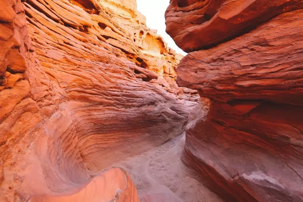
Our Sharm El Sheikh day tours cover the South Sinai coast and mountains, and the Colored Canyon and St Catherine by jeep trip shows another side of the same fault-shaped landscape.
Seismic cracks zone: quick answers
Why is it called the seismic cracks zone?
The coast lies on the Dead Sea Transform fault in the Gulf of Aqaba, and the granite headlands are cut by visible fractures and fault lines.
Is Ras Abu Galum safe to visit?
Yes. Strong earthquakes are rare (the last major one was in 1995) and the area has no large buildings. The main risks are heat, the rocky path and the deep water.
How do you get to Ras Abu Galum?
Walk or ride a camel about 2 hours along the coast from the Blue Hole near Dahab, take a boat from Dahab, or drive in with a 4x4 and a local driver.
Ahmed Samir writes and updates the Egypt travel guides of Egypt Online Tour, a licensed tour company based in Cairo (ETAA licence 1466). Our travel advisors review each guide before it is published.
All guides by Ahmed Samir